Last updated: November 23, 2024
What is a GPX File?
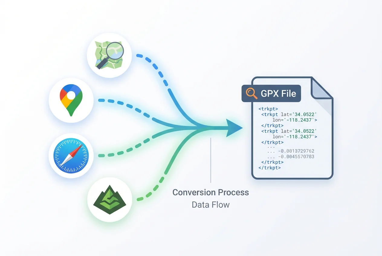
GPX (GPS Exchange Format) is an XML-based file format designed for storing GPS data. It contains location information such as waypoints, routes, and tracks from your outdoor activities like hiking, biking, or running.
These files are commonly used by GPS devices and fitness applications like Garmin, Strava, and many trail mapping services. When you download a hiking trail or create a route on these platforms, they often provide it as a .gpx file.
Example of GPX file structure:
<?xml version="1.0" encoding="UTF-8"?>
<gpx version="1.1">
  <wpt lat="37.822" lon="-122.478">
    <name>Golden Gate Bridge</name>
  </wpt>
  <trk>
    <name>Morning Hike</name>
    <trkseg>
      <trkpt lat="37.822" lon="-122.478">
        <ele>10</ele>
      </trkpt>
      <trkpt lat="37.823" lon="-122.479">
        <ele>12</ele>
      </trkpt>
      ...
    </trkseg>
  </trk>
</gpx>
GPX vs Google Maps (KML)
Google Maps doesn't natively use GPX files in its consumer interface. Instead, Google's preferred format is KML (Keyhole Markup Language), which was developed for Google Earth.
This distinction explains why you can't simply double-click a GPX file and have it open directly in Google Maps. However, Google My Maps (Google's custom map creation tool) does support importing GPX files by converting them on the fly.
When you want to use a GPX file in Google Maps, you'll need to either:
- Import it into Google My Maps
- Convert it to KML first
- Use a third-party tool like GPX2Maps to handle the conversion for you
How to Open a GPX File on Google Maps
The simplest way to open a GPX file on Google Maps is to use Google My Maps: just import the GPX file into a new map. Alternatively, tools like GPX2Maps can convert the file for you automatically.
For step-by-step instructions on importing GPX files to Google Maps, check out our detailed guide on How to Import a GPX File in Google Maps.
If you're looking for a faster solution, our GPX to Google Maps converter allows you to upload a GPX file and instantly view it on Google Maps without any manual conversion.
Why Use Google Maps for GPX?
You might wonder, "Why not just use my GPS device or another app?" Here are some advantages of bringing your GPX data into Google Maps:
- Larger screen on desktop for better visualization
- Easy sharing via a link with friends or family
- Ability to overlay your GPX route on Google's detailed satellite imagery
- Access to Google's comprehensive POI (Points of Interest) data
- Familiarity - most people already know how to use Google Maps
- No need to install special software or apps
Tips for Managing GPX Files
- Keep your GPX files organized in a dedicated folder on your computer
- Convert to KML if you plan to edit extensively in Google Earth
- Use a GPX viewer app for quick mobile access when you're on the go
- Back up your GPX files regularly, especially if they contain important routes
- Be aware that the Google Maps mobile app has limitations - you can't import GPX files directly; you'd need to use My Maps or a converted link
Conclusion
GPX files are the raw data of your routes, and Google Maps is a great way to visualize them once you convert or import the file. With tools like GPX2Maps, the process is simple for anyone, regardless of technical expertise.
Next time you have a GPX file, remember you can view it on Google Maps – start by uploading it to GPX2Maps below.
Use our free converter - no registration required!
Try Our Free GPX Converter →Frequently Asked Questions
Does Google Maps accept GPX files?
Yes, Google Maps can work with GPX files, but not directly in the standard Google Maps interface. You'll need to use Google My Maps (a related service) or a converter tool like GPX2Maps.
Can you use a GPX file on Google Maps?
Absolutely! GPX files can be used with Google Maps through Google My Maps or by converting them to a format Google Maps can display directly. Our tool makes this process seamless.
What's the difference between GPX and KML files?
GPX is an open standard format primarily for GPS data exchange, while KML (Keyhole Markup Language) was developed by Google for displaying geographic data in applications like Google Earth and Google Maps.
Can I edit a GPX file in Google Maps?
You can't edit GPX files directly in Google Maps, but you can import them into Google My Maps and then edit the route there. Alternatively, you can use specialized GPX editing software.